

THE FALCON CAPE
(ONE OF THE MOST SOUTHERNMOST POINT OF THE ISLAND)

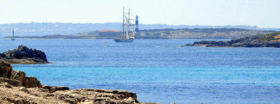
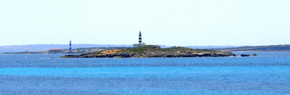
Reaching the top of Es Cap des Falco (Cape Falcon) is to reach the southernmost tip of the island, a place that will arrive, after starting from Ses Salines. In the first image (top) we can see a picture of the Salinas Beach, located just behind the ponds and the very small village of "Sa Revista." Due to Cap des Falco is a totally wild tip, we must be ready to start walking up hills and then down them to reach Cap des Falco. A place that worth just for the wonderful views that we see during the way, definitely delightful. In the picture above we see as we climb the first hill near the beach of Ses Salines or Mitjorn, we are able to see from the top, the string of islets that separate the islands of Ibiza and Formentera (called "Es Freus"). For reference to the image we can see clearly two lighthouses, the closest to the image corresponds to the island des Penjats (of the hanged) and further one from the island of Espalmador. At the bottom almost confused with the horizon appears Formentera.
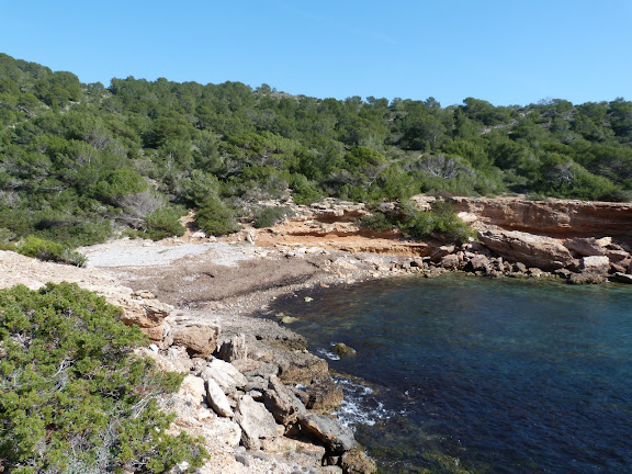
Reach Cap des Falco requires some perseverance and patience. Not for people who do not like walking. We will be amazed into this place. Here in the form of a small cove (certainly the southernmost cove of Ibiza), name unknown (if it has it), is completely surrounded by pine trees and vegetation.

Going up a bit, and leaving the cove back, we can admire a pretty rocky landscape. We are at the southernmost tip of the island, but by the east side we see another tip, that one is the tip of Ses Portes, with a watchtower called also "ses portes" (the doors) scanning the horizon...

We are arriving to Cap des Falco. This point at the image we see with these small islets, is the southernmost part of the island of Ibiza. A kind of Finisterrae of the island in its south side. For some people getting here, could get some tireness, but this is a good place to rest and regain energy as it is a truly beautiful place.

We have already reached the top of Cap des Falco, that peak so beaked if we see it from some sides of the island. That leads out to a place with great views, where a backdrop of blue sea green contrasts with other native vegetation of the island. On one side the sea, and to the other the salinas.

On the east side, is perfectly visible the beach of Codolar, the mountains of the island and the salt ponds.
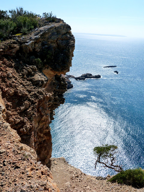
This route can be made by people of all ages, though, if people with dizziness should avoid looking down from above, due to the fall of the ravine is very pronounced. Even if you are not too dizzy, worth to look down, albeit with caution...

On the top you will find a fantastic view to the west of the island. Although half hidden but perfectly visible the imposing rock of Es Vedra greets us from afar, as also the area named cala Llentrisca.

Once up, we see that "Cap des Falco" is a pretty big area, where the high cliffs surround the coastal area. From now on we must go down, but we can enjoy the views that we find into the way.

On our descent we can see even from a distance, the lighthouse and the islet des Penjats (the hanged island) so named because in the days of the pirates was the place where the convicted pirates were hanged. The island now appears serene and detached from us and surrounded by pine trees, pines that we have in few feet of us.

In our descent, at a relatively low level, we can enjoy the view of a relatively near beach, but inaccessible by land, so we can not get there. But from above gives us the view of an impressive clean and clear water background.
Again we must climb another hill for finally reach again the top of another mountain, in order to return to civilization. Again we can spot the salinas beach and Sa Canal, where there is usually some salt loading that will ship to Europe. Once again we got out to the world when we go down the hill. For some hours we have enjoyed the nature and the silence with impressive views.








.JPG)


